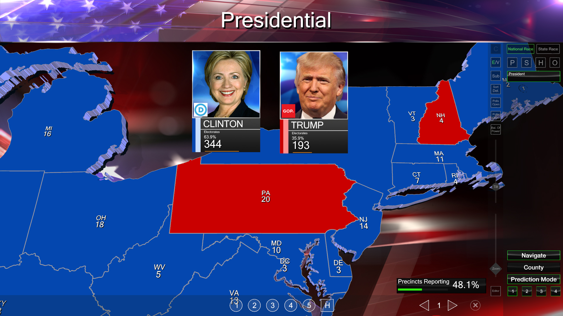
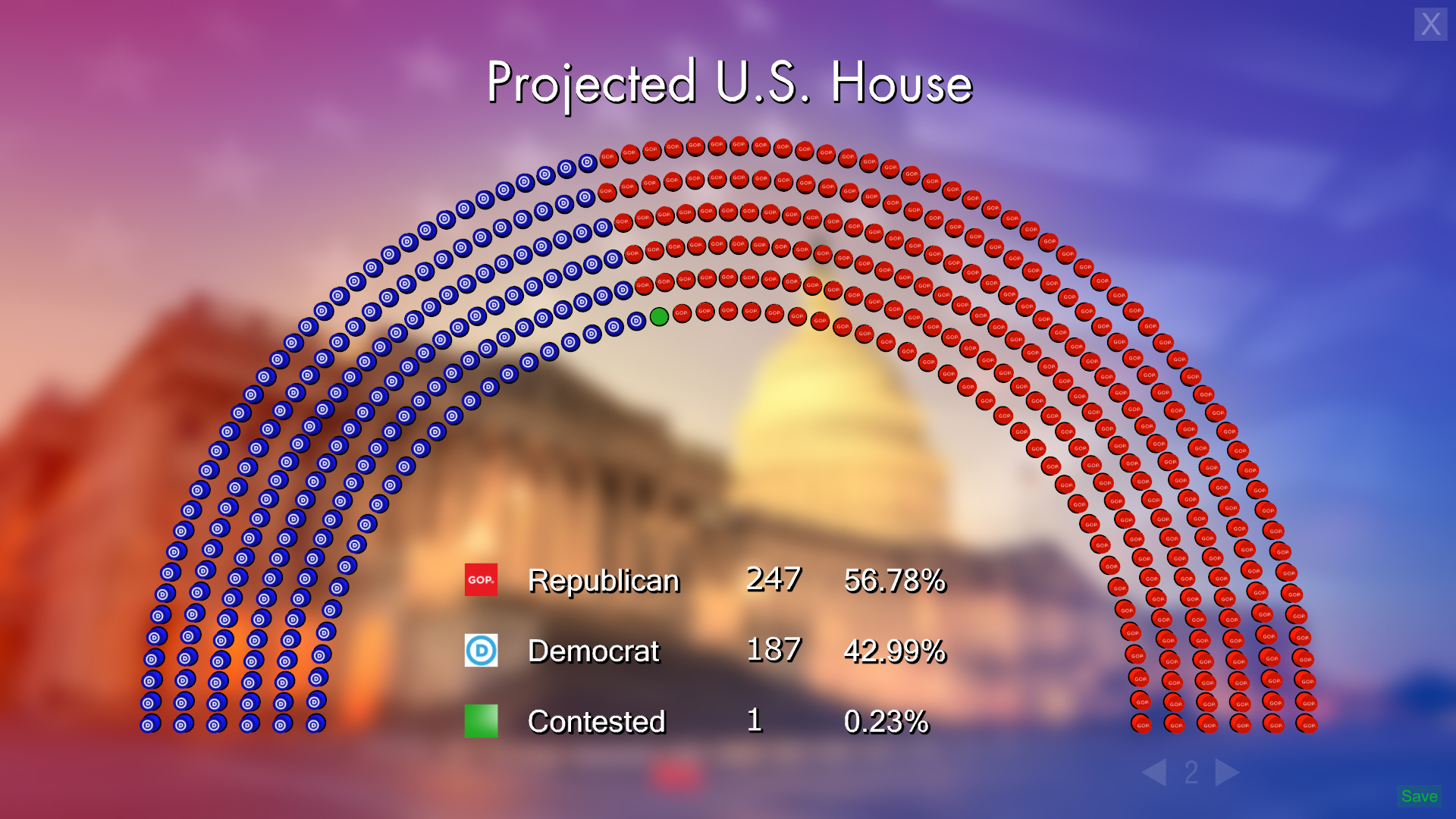
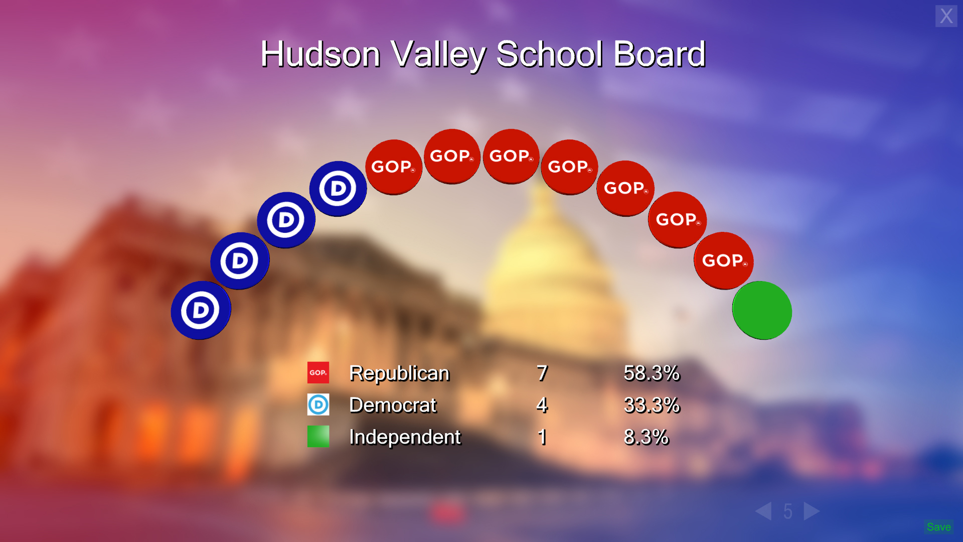
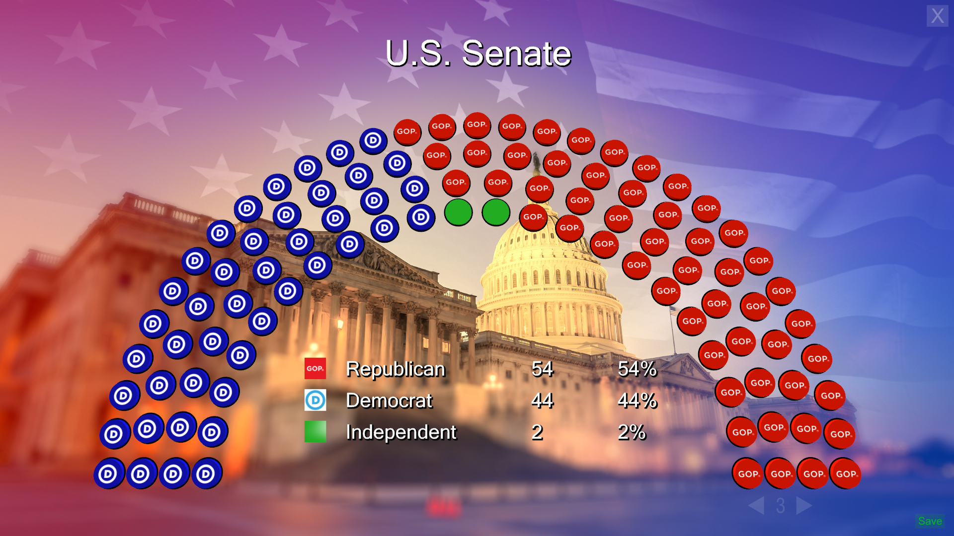
Campaign Trail is a touchscreen application used by television display realtime election data. The AP was the source of data for most clients but data could also be entered manually or fed from other data providers. The geometry representing states, districts, and congressional seats was derived from shapefiles that were then converted in Maya through a handful of scripts I wrote. The geometry was then fed into the realtime touchscreen engine from Ventuz. The broadcaster was then able to interact with the map by touching different shapes to pull current results from the desired race. The data was live and would update on-air. Other parts of the application allowed for candidate comparisons, seating charts, and projected races. I used Maya, Quantum GIS, C#, Photoshop, and Ventuz in it's creation.